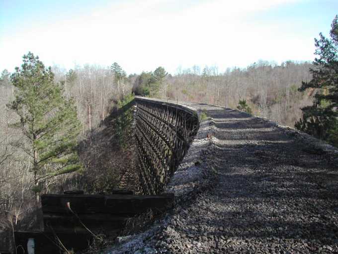
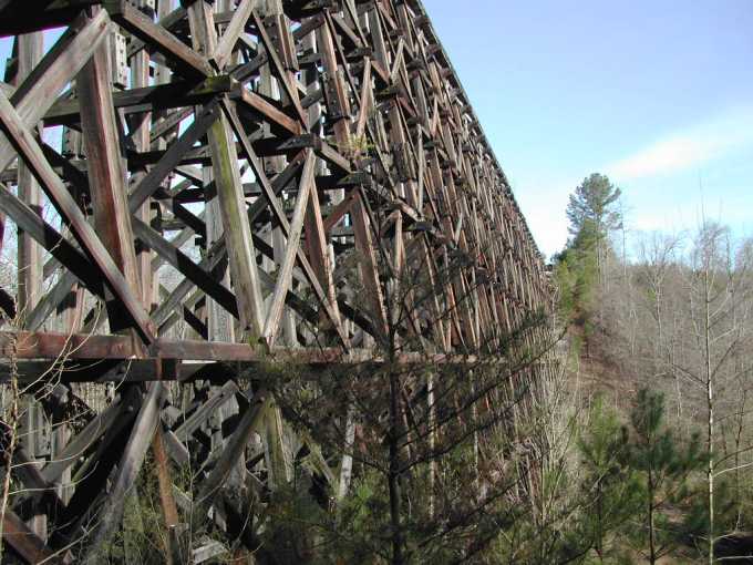
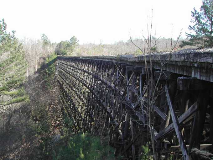
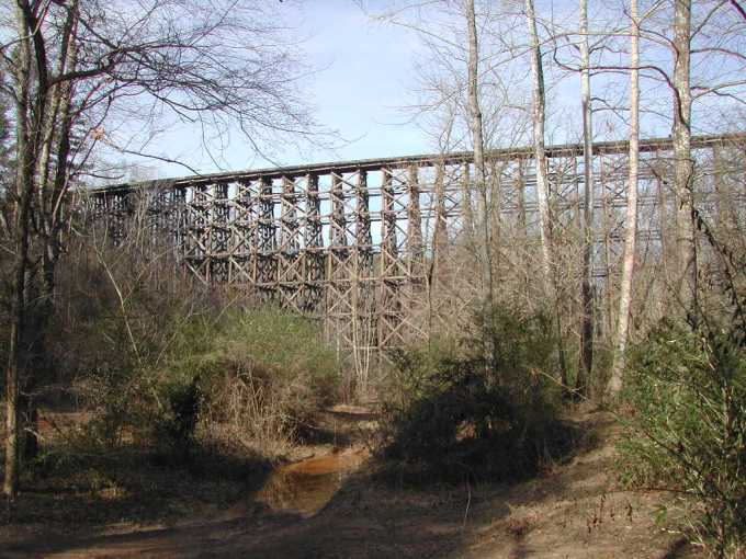
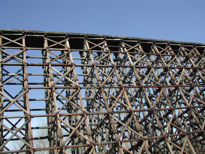
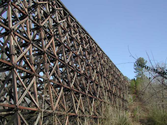
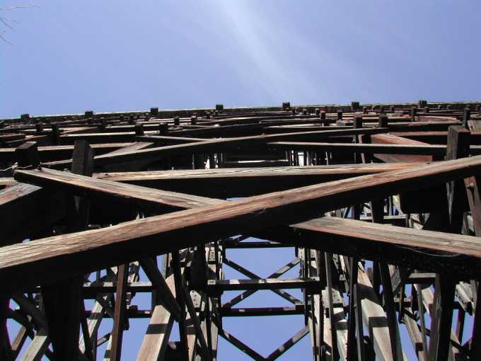
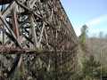
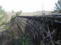
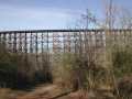
This cache is located at a 103 year old landmark known as "#10 Trestle". It is an 800 ft long and 110 ft high train trestle that goes across Newfound Creek. This is a rare bridge in that it is built entirely out of wood and is curved. Most trestles of this type are straight. Few people know this bridge exists because you have to hike almost a mile to get to it. The walk down the rail bed is perfectly flat, and all the rails and cross ties have been removed. This awesome sight will reward you when you get to the trestle.
Sadly the trestle burned in the summer of 2006. The cache is still there.
Click on the thumbnails for a larger picture.
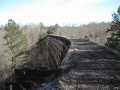

For an easy .82 mile walk park at these coords: 33° 40.241 86° 54.377. This will take you right down the old gravel rail bed. If you feel adventuresome park at these coords: 33° 39.373 86° 54.401. This is closer at .53 mile, bit it is a series of twisting, winding, up and down trails. If you decide to go this way be sure and take a waypoint at your vehicle and expect plenty of mud. You cannot stay on the trails the whole way so you will encounter briar patches, thick brush, and deep gullies. A hikers dream?
It is near Brookside, Alabama about 7 miles west of I-65 on a recently abandoned railroad. The line was first known as the Mary Lee railroad, later known as the Jefferson Warrior railroad, and finally bought by L & N Railroad, which today is known as CSX.
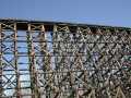
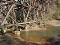
The cache is near the bridge but not on it. Even though the bridge is not in use I felt it would be inappropriate to place the cache anywhere on the structure. Handrails are not yet installed on the bridge, so if you decide to cross it please be very careful. If the wind is blowing, trust me, DO NOT try to walk across it. One can walk down to the creek fairly easy where the best view is. Looking up at this massive bridge you can see how magnificent and awesome this 103 year old structure really is.
The Jefferson County Commission is considering the purchase of this 16-mile section of abandoned railroad to be used for a bike and walking trail. Let’s hope this happens, as it will run from I-65 to U.S. Hiway 78 with multiple access sites in between. This will open up a whole new and easily accessible area for future caches.
The cache is an ammo box filled mostly with small children’s toys. It should be easily found. Don’t forget your camera. You’ll want pictures of this one.
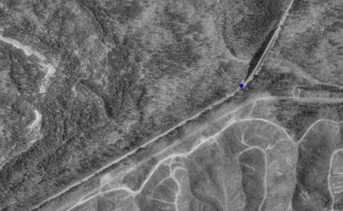
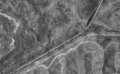
To see an aerial view CLICK HERE. (Also in thumbnails) The blue dot in the picture is the north end of the bridge. The large dark area to the left is a shadow cast by the bridge. Newfound creek flows from left to right in this picture.
Happy geocaching, Mick